Karwendel Tour to Birkkarspitze (2749m), partly together with Mieko and Mike.
[Alle bilder bei flickr].
[GPS-tracks: OpenStreetMap mit OpenLayers]
2009-06-26: [Nürnberg – Lenggries –] Hinterriß (928m) – Ladizalpe (1526m) – Falkenhütte (1848m)
Took the 7 o'clock ICE to Munich, still a short train. Minimally delayed, rather crowed from Ingolstadt. Ingolstadt is the only halt until Munich, where I arrived at 8:10. I got me a tea at Yormas' and continued with the BOB (Bayrische Oberlandbahn) to Lenggries. We had to move from the first part of the train to the middle part because of waste gas entering the carriages; but in the middle, it also smelled suspiciously...
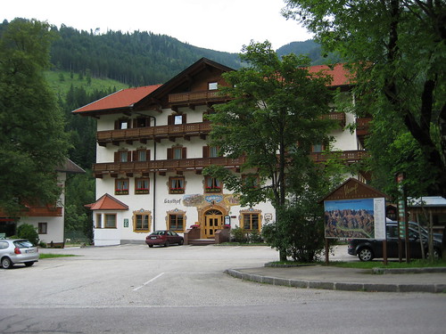
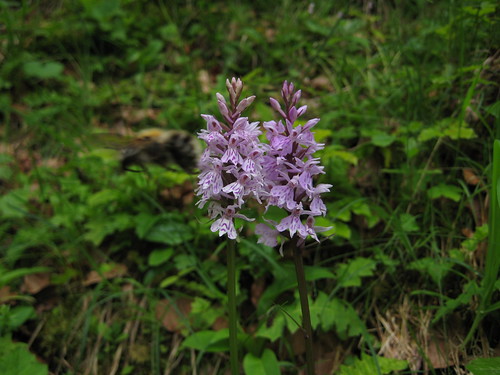
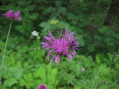
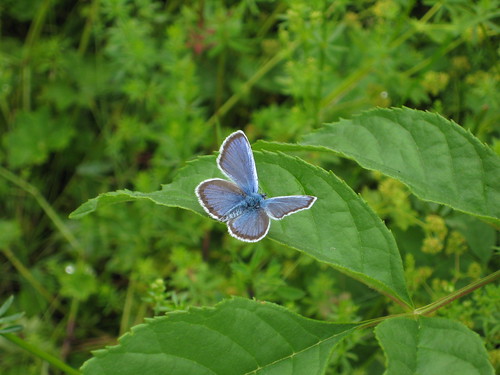
The bus to the "Eng" (the so-called Karwendel-Bergsteiger bus) was already waiting, and together with 3 other hikers we left Lenggries around 10:00 (€ 6.90, if you'd buy a round-trip ticket, you could save money) and reached the sleeping Hinterriß (928m) half an hour later. The other 3 wanted to leave later from where they could reach the Falken hut faster (maybe, through Laliderertal); they intedned to climb the Steinfalk (2347m) today. The Gasthof zur Post at Hinterriß looked inviting, balconies still without geranium (cranesbill, crane's bill). Weather was still fine, cloudy, but no rain and not even wind; I enjoyed butterflies and flowers such as Knabenkraut (which one?).
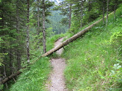
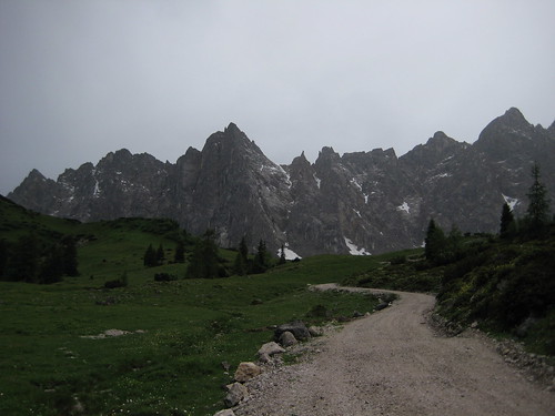
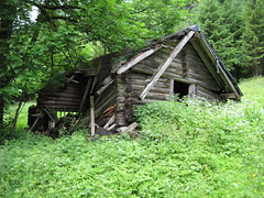 First on a track (forststraße, route 231) over the Rißbach stream into the Johannestal. More or less by accident I left the official route 231 and took an old and sometimes interrupted or otherwise disturbed path to the decayed Johnnestalalm (1065m). From this upper path, I could see several ways in the Johannestal.
Then on the 231 again, some mountain bikers, rain.
First on a track (forststraße, route 231) over the Rißbach stream into the Johannestal. More or less by accident I left the official route 231 and took an old and sometimes interrupted or otherwise disturbed path to the decayed Johnnestalalm (1065m). From this upper path, I could see several ways in the Johannestal.
Then on the 231 again, some mountain bikers, rain.
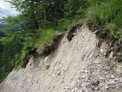
Short before the Schwarze Lacke hut (private), I once again tried a footpath. This one ended pretty soon, I turned right, and lost my map as I discovered at the Schwarze Lacke hut. Going back 10 minutes, I happily found it again. The map was wet, but still usable.
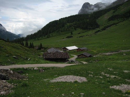
Reaching Ladizalpe (1573m) on the MTB route; the way on the right of the Johannesbach and Ladizgraben is probably shorter. At Ladizalpe I had lunch and decided to wait for better weather conditions. Cows on the alpe.
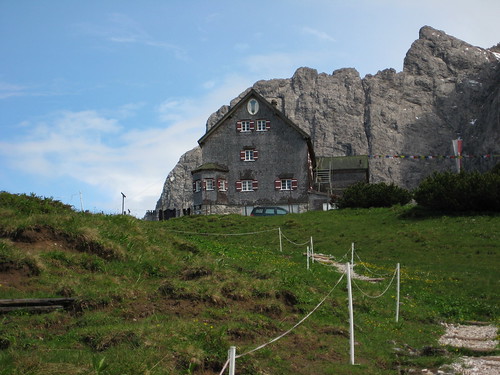
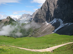 Well maintained walking path to Falkenhütte (1848m). Sun was shining for the first time toway. Enjoyed it and the wonderful scenery: The hut is located 80 meters above the Spielissjoch on a grassy saddle between Lalidererspitze in the S and the Falken ridge to the N; to the NE you can also see Teufelskopf, Gumpenspitze, Gamzjoch (2452m), and more; western parts with the Birkkarspitze were hidden in clouds–I'm not sure whether that's actually visible.
 Because the weather was too bad, I canceled the plan to go up to the grassy Mahnkopf (2094m, approx. 1h from the hut) to watch the sunset. Maybe, I can do it later the year; this would be a nice tour: With the bus to the beginning of the Laliderertal and route 232 to the Falken hut (approx. 3h), from the hut to Steinfalk (2347m, I, also called Steinspitze or Südl. Falk) and in the evening over the Mahnkopf.
Lager unter dem Dach durchaus großzügig, today approx. 25-30 guests. You can reach the hut comfortably out of three valleys: Johannes-, Laliderer-, and Engtal.

No comments:
Post a Comment